The Lea Navigation starts at Bow Locks and continues north to Hertford. The
Limehouse cut carried barges on to the Thames at Limehouse, or they could
go through the locks and into the tidal Bow Creek which is the lower reaches
of the River Lea.
Just below the East India Dock Road is perhaps London's most spectacular
piece of scenery, where Bow Creek goes through a large 'S' bend before joining
the River Thames at Leamouth.
Inside the first bend of the S is now a nature reserve, while the second
bend, until recently occupied by the Pura Foods edible oils factory has been
levelled to the ground and awaits planning permission and redevelopment, with
flats, shops and businesses etc.
Parts of a public walkway from the EI Dock Rd to the end of the river were
built in the 1990s but have never opened to the public; a competition for
a bridge to take the path over the river below the Lower Lea Crossing (1991)
was held a few years ago, but the award-winning design has yet to be built.
There is a walkway on the west side of the first part of the bend going to
the road at Leamouth, and some fine views from the DLR viaduct (opened 1994.)
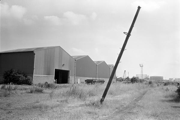
This area was once heavily industrialised, and included one of the country's
leading ship-building yards.
more pictures
Picture sections
1980-92 Black & White index
1980s: colour
2000 on: colour
All photographs on this site are
© 1980-2010 Peter Marshall.
Pictures are available for commercial use - please email
me,
for terms.
Permission is normally granted for suitable non-commercial
use without cost - please email the above address. I also welcome comments
and questions about the work.
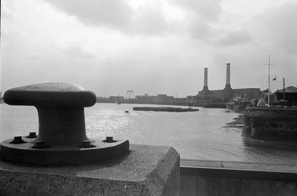
35t33: River Thames with Brunswick Wharf Power Station
and Trinity Buoy Wharf,1983
35t34: Bow Creek, River Thames and Trinity Buoy
Wharf,1983
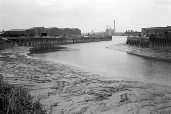
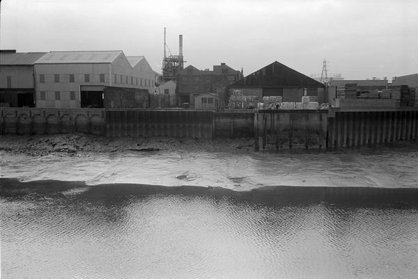
35t65: Bow Creek,1983
35t66: Bow Creek, looking up river, 1983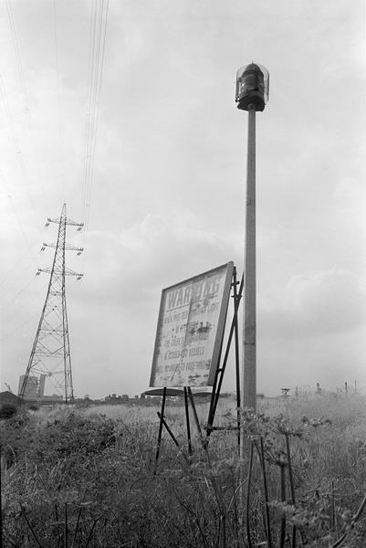
35t63: Bow Creek, 1983
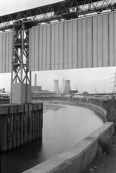
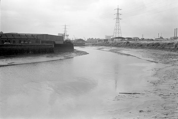
36a23: Flood Barrier, Bow Creek and West Ham 'B' Power Station, 1983
36a23: Flood Barrier, Bow Creek, 1983
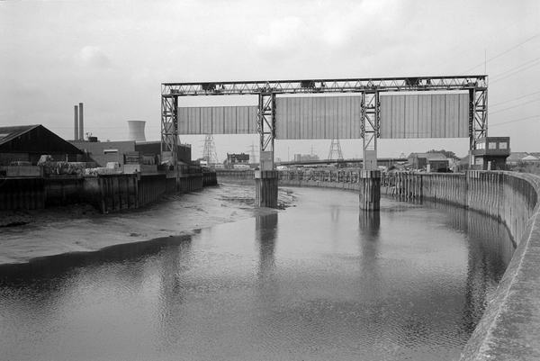
36a25: Flood Barrier, Bow Creek, 1983
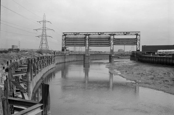
36a34: Flood Barrier, Bow Creek, 1983
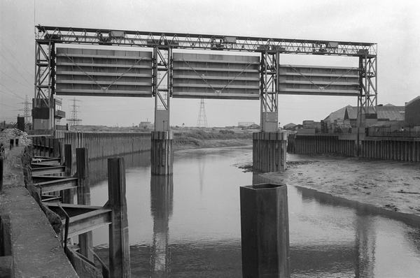
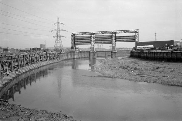
36a36: Flood Barrier, Bow Creek, 1983
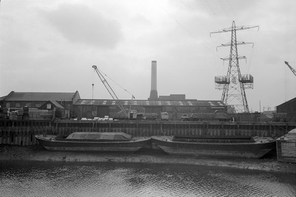
36a12: Bow Creek, west bank (and Brunswick Wharf power station), 1983
36a24: Bow Creek, west bank, 1983
more pictures