The Lea Navigation starts at Bow Locks and continues north to Hertford. The Limehouse cut carried barges on to the Thames at Limehouse, or they could go through the locks and into the tidal Bow Creek which is the lower reaches of the River Lea.

Stratford Marsh, between Stratford High Street and Hackney Wick, includes a number of streamsof the River Lea, known together as the Bow Back Rivers, as well as the Lea Navigation.

Most of these streams were once used to power mills, and some for water supply. There were various alterations to them including the building of several locks in the 1930s, partly for flood relief but also as a project to provide employment. The City Mill River was widened, embanked and made navigable, although there is little evidence that there was serious commercial traffic. Until they were closed for the Olympics they were occasionally used by leisure craft.

Much of the area was covered by small businesses with a few larger companies. There was a large area of railway sidings between the City Mill and Waterworks River and a few larger industrial buildings.

The rivers and their edges were rich with wildlife, often rather overgrown. There were areas of nature reserve near Old Ford Lock.

Running through the centre of the area is the elevated Northern Outfall Sewer, with a foot path along its top. Around 1990 this was improved and rebranded as the Greeway. Around the same time many of the other footpaths in the area were also cleared and large amounts of hardcore put down, along with new signposts, and volunteers spent a lot of time clearing the various waterways.

Pictures of the frontages of properties on Carpenters Road are shown in the Hackney Wick section of the site, while their backs on the Waterworks River are included here.

more pictures

Picture sections

1980-92 Black & White index

1980s:  colour

2000 on: colour


All photographs on this site are
© 1980-2010 Peter Marshall.

Pictures are available for commercial use - please email me, for terms.

Permission is normally granted for suitable non-commercial use without cost - please email the above address. I also welcome comments and questions about the work.

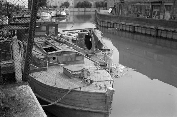
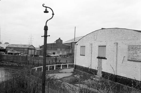
32w66: Marshgate Lane

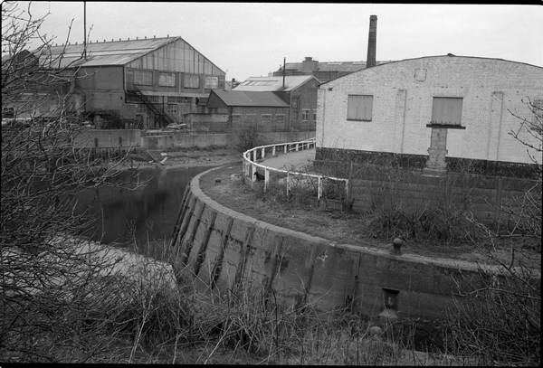
35v15: City Mill River

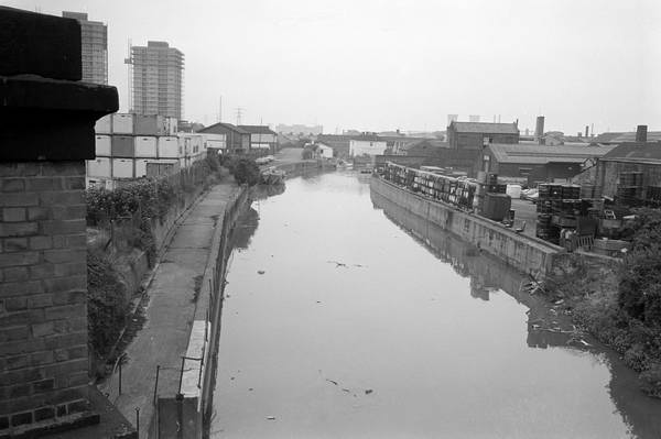
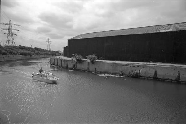
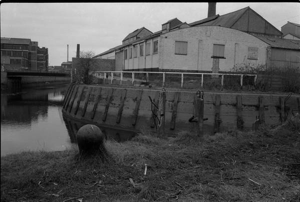
35v25: City Mill River from Northern Outfall Sewer

33x32: City Mill River from Northern Outfall Sewer

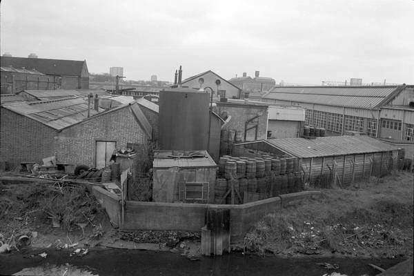
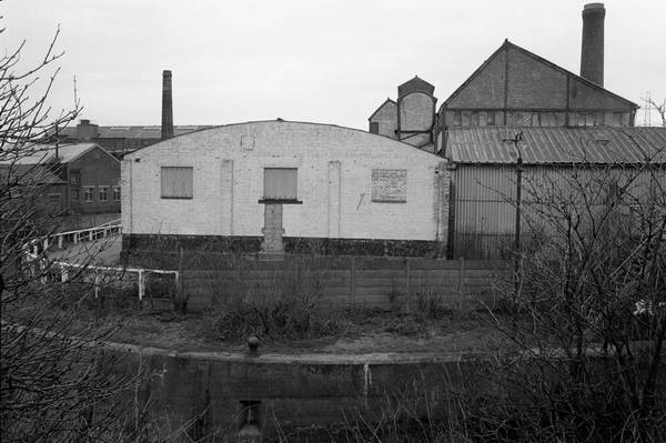
33x-34 City Mill River

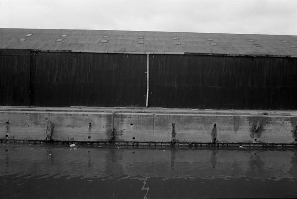
33x-35 City Mill River

City Mill River

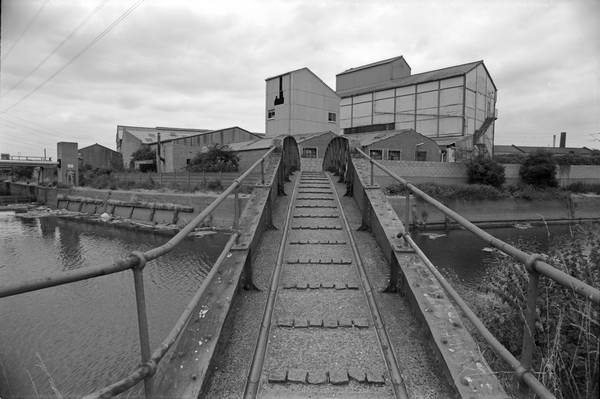
35p32: Footbridge, City Mill River close to Old River Lea junction

35p33: Footbridge, Old River Lea, with Carpenters Lock at left
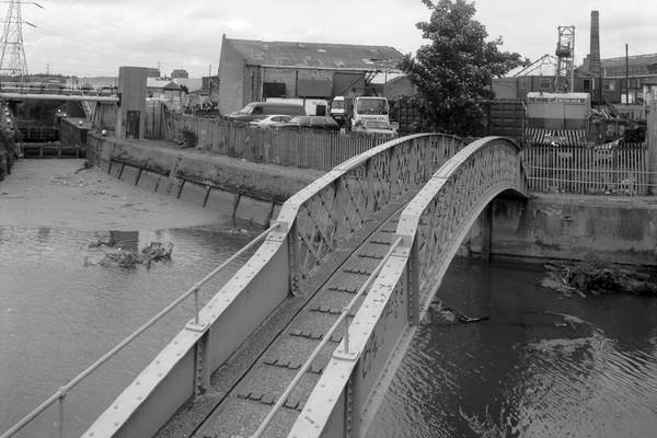
92-8e51: Footbridge, Old River Lea, with Carpenters Lock at left

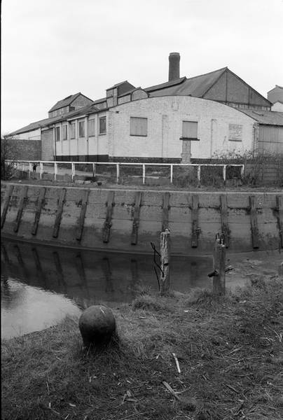
35p35: City Mill River

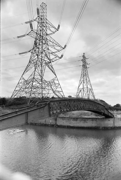
33x-36: From Carpenter's Lock - Waterworks River runs to right

33x-24: From Carpenter's Lock - Waterworks River runs to right

33x-25: From Carpenter's Lock - Waterworks River runs to right

33x26: Looking across the Old River Lea and down Waterworks River

33x-11: Junction between Waterworks River and Old River Lea

The numbering system I used for negatives uses the final two numbers to denote the row and position
on the contact sheet, starting from top and left. The row number goes down as I work through the film,
(from 6 to 1) but in each row the position number goes up (from 1-6.) The set of 5 pictures from roll 33x
are shown above in the order in which I took them.

more pictures


Stratford Marsh


Home    All pictures © 1970-2005, Peter Marshall. Contact me for permission for use, high res files and fees.

The River Lea

London's Second River

The River Lea (or Lee) from source to mouth