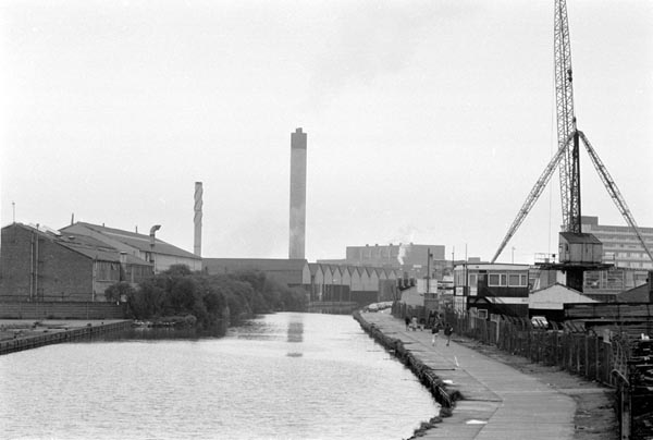
34Lll. Lee Navigation, 1984
34L16: Lee Navigation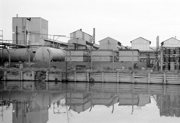
34m12: Lee Navigation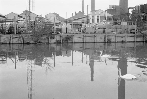
34m14: Lee Navigation, 1984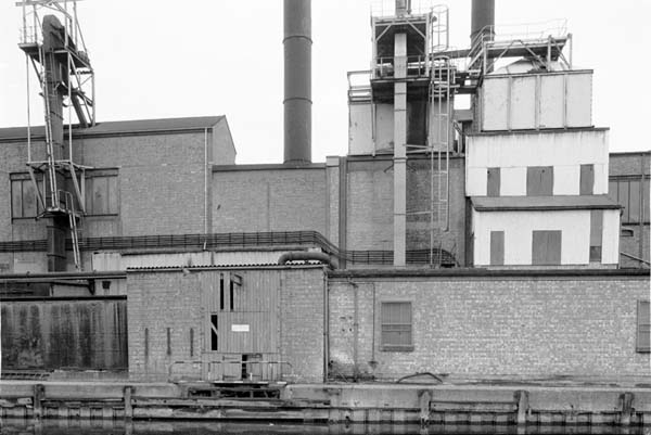
34m16: Lee Navigation
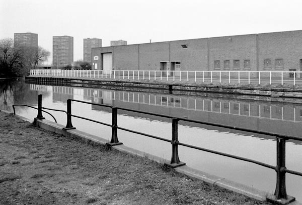
34m24: Lee Navigation, Ponders End, 1984
In places away from the tow path of the Lee Navigation itself there were few clear paths in the early 1980s, especially around the Bow Back Rivers. Rights of way were not yet marked on the available OS maps of the area, and there were often no paths at all marked on these or the other maps of the area. So I simply walked or hacked my way along by the rivers or streams where I thought there might be a path until I came to fences or walls or locked gates.
There were even very few fishermen on most stretches of bank, and of course none in the coarse fish close season from 15 March to 15 June. After some initial attempts I found it best to take pictures either in the winter when the vegetation had died back or early summer before it had become too overgrown.
Other than tripod and secateurs, the essential equipment in my camera bag for much of this work was a flask of black coffee, especially during the winter months, along with sandwiches. I also found room for a couple of Olympus OM bodies and several lenses. Almost all the black and white was taken with the 35mm shift; some of the colour used 50mm or 105mm. Later these were supplemented with a 200mm and a 20mm.
1990s (to follow)
2000+ colour
All photographs on this site are
© 1980-2010 Peter Marshall.
Pictures are available for commercial use - please email me, for terms.
Permission is normally granted for suitable non-commercial use without cost - please email the above address. I also welcome comments and questions about the work.
34Lll. Lee Navigation, 1984
34L16: Lee Navigation
34m12: Lee Navigation
34m14: Lee Navigation, 1984
34m16: Lee Navigation
34m24: Lee Navigation, Ponders End, 1984
All pictures © 1970-2005, Peter Marshall.
Contact Peter Marshall
for permission for use, high res files and fees.