The Lea Navigation starts at Bow Locks and continues north to Hertford. The
Limehouse cut carried barges on to the Thames at Limehouse, or they could
go through the locks and into the tidal Bow Creek which is the lower reaches
of the River Lea.
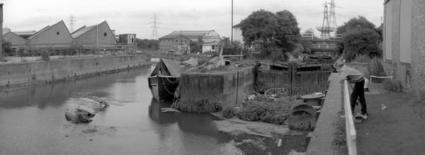
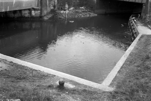
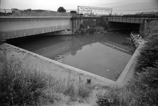
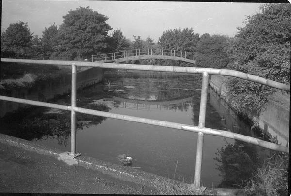
Stratford Marsh, between Stratford High Street and Hackney Wick, includes
a number of streamsof the River Lea, known together as the Bow Back Rivers,
as well as the Lea Navigation.
Most of these streams were once used to power mills, and some for water supply.
There were various alterations to them including the building of several locks
in the 1930s, partly for flood relief but also as a project to provide employment.
The City Mill River was widened, embanked and made navigable, although there
is little evidence that there was serious commercial traffic. Until they were
closed for the Olympics they were occasionally used by leisure craft.
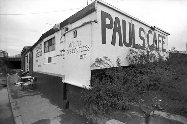
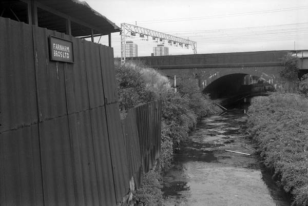
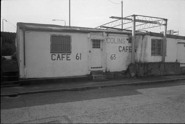
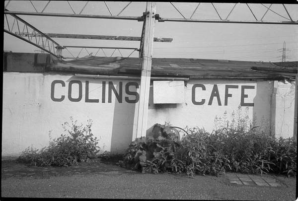
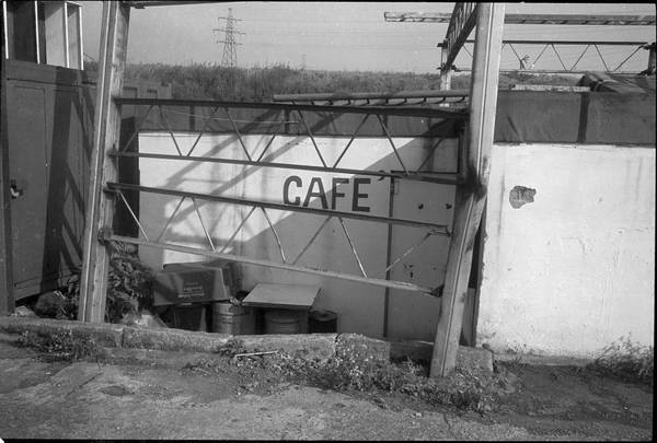
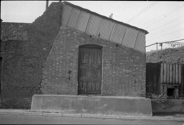
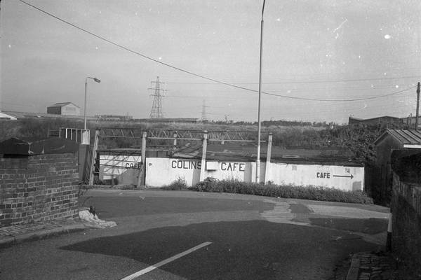
Much of the area was covered by small businesses with a few larger companies.
There was a large area of railway sidings between the City Mill and Waterworks
River and a few larger industrial buildings.
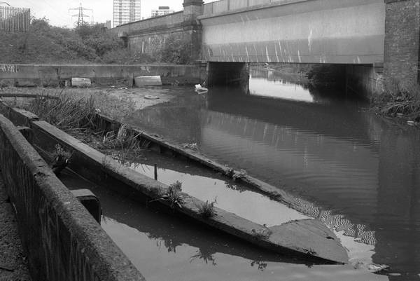
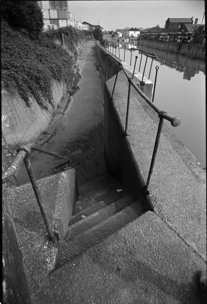
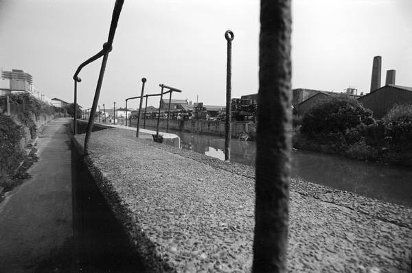
The rivers and their edges were rich with wildlife, often rather overgrown.
There were areas of nature reserve near Old Ford Lock.
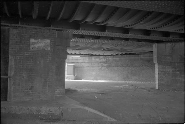
Running through the centre of the area is the elevated Northern Outfall Sewer,
with a foot path along its top. Around 1990 this was improved and rebranded
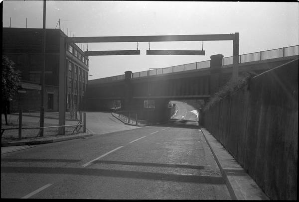
as the Greeway. Around the same time many of the other footpaths in the area
were also cleared and large amounts of hardcore put down, along with new signposts,
and volunteers spent a lot of time clearing the various waterways.
Pictures of the frontages of properties on Carpenters Road are shown in the
Hackney Wick section of the site, while their backs on the Waterworks River
are included here.
more pictures
Picture sections
1980-92 Black & White index
1980s: colour
2000 on: colour
All photographs on this site are
© 1980-2010 Peter Marshall.
Pictures are available for commercial use - please email
me,
for terms.
Permission is normally granted for suitable non-commercial
use without cost - please email the above address. I also welcome comments
and questions about the work.